If you are searching for the Blue Lakes Trail in Colorado, you are probably looking for more than a beautiful hiking photo. You want to know exactly where the trail is, how difficult it is, how long it takes, whether the road is suitable for your vehicle, where to park, what the trail conditions are like, whether you need a permit, and whether the hike is worth the effort.
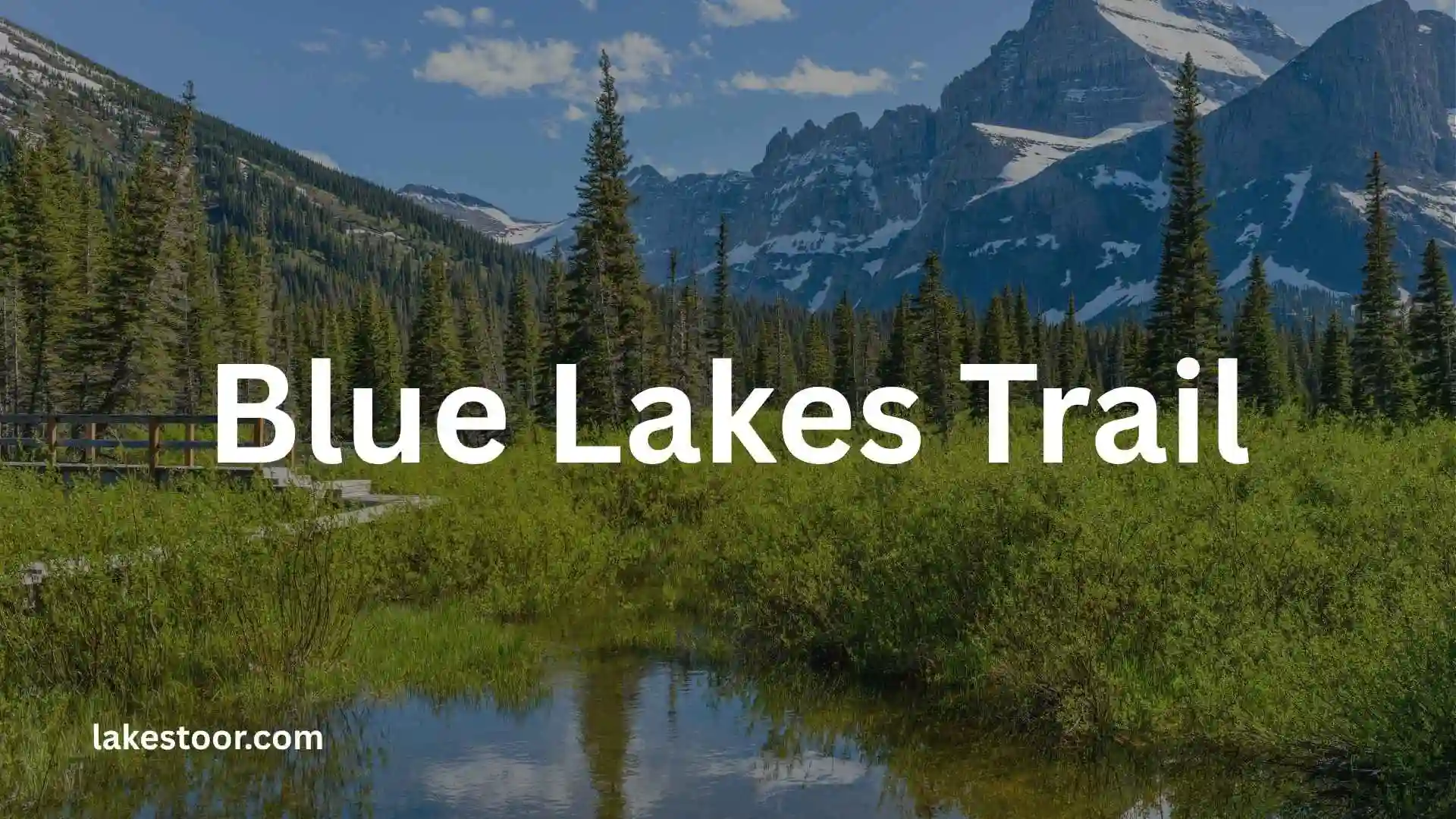
The Blue Lakes Trail near Ridgway, Colorado, is one of the most spectacular alpine lake hikes in the San Juan Mountains. The route climbs through spruce and fir forest before reaching a dramatic basin beneath Mount Sneffels, with Lower, Middle and Upper Blue Lakes providing the main attractions.
But there is an important distinction between hiking to Lower Blue Lake, continuing to the upper lakes, and extending the trip toward Blue Lakes Pass. Those routes require different amounts of time, fitness and preparation.
This guide covers everything you need to know before hiking Blue Lakes Trail, including the trailhead, parking, road conditions, mileage, elevation gain, difficulty, best time to visit, 2026 regulations, dogs, safety and a practical route breakdown.
Blue Lakes Trail at a Glance
| Trail information | Details |
| Location | Near Ridgway, Colorado |
| Forest | Uncompahgre National Forest |
| Wilderness | Mount Sneffels Wilderness |
| Trail | Blue Lakes Trail #201 |
| Starting elevation | About 9,360 feet |
| Lower Blue Lake elevation | About 10,920 feet |
| Middle Blue Lake elevation | About 11,520 feet |
| Upper Blue Lake elevation | About 12,392 feet |
| Blue Lakes Pass | About 13,000 feet |
| Distance to Lower Blue Lake | About 6.5 miles round trip |
| Elevation gain to Lower Blue Lake | About 1,680 feet |
| Distance to Blue Lakes Pass | About 9 miles round trip |
| Elevation gain to Blue Lakes Pass | About 3,800 feet |
| Difficulty | Moderate to strenuous |
| Best season | Generally late June through mid-September, depending on snow |
| Main attractions | Three alpine lakes, Mount Sneffels views and wildflowers |
| Nearest towns | Ridgway and Ouray |
The San Juan Mountains Association currently describes the north-trailhead route as approximately 6.5 miles round trip to Lower Blue Lake, with about 1,680 feet of elevation gain. The Forest Service provides the official trail information and identifies the route as Blue Lakes #201.
Where Is Blue Lakes Trail?
Blue Lakes Trail is located southwest of Ridgway, Colorado, in the Uncompahgre National Forest.
The trail sits within the Mount Sneffels Wilderness, an area known for high alpine terrain, rugged peaks and some of the most dramatic scenery in southwestern Colorado.
The main northern trailhead is reached via County Road 7, also known as East Dallas Creek. From Ridgway, you take Colorado Highway 62 west before turning onto County Road 7 and following the road toward the Blue Lakes Trailhead.
The trailhead sits at roughly 9,360 feet, so you are already starting at an elevation that can affect your hiking pace.
Blue Lakes Trail Location
For most hikers visiting the area specifically to see the lakes, the north Blue Lakes Trailhead is the route to use.
There is also a southern access point associated with Yankee Boy Basin/Wright’s Lake, but this is a different approach and is not the standard starting point for the popular Blue Lakes hike.
Blue Lakes Trail Breckenridge
Blue Lakes Trail near Breckenridge, Colorado ek high-elevation mountain destination hai jo Blue Lakes aur surrounding Tenmile Range scenery ke views provide karta hai. Trailhead Colorado 9 se Blue Lakes Road ke through reach hota hai, aur area se Quandary Peak aur surrounding alpine landscape ke impressive views milte hain.
Breckenridge wala Blue Lakes Trail San Juan Mountains ka Blue Lakes Trail nahi hai. Dono ke names similar hain, lekin unki locations, access roads aur trail characteristics different hain. Agar aap article mein dono cover kar rahe hain, location ko heading aur introduction mein clearly mention karein.
Blue Lakes Trail Colorado Directions
Breckenridge se Blue Lakes Trailhead tak pahunchne ke liye Colorado 9 par south ki taraf travel karke Blue Lakes Road/Forest Road 850 ki taraf turn kiya jata hai. Road Blue Lakes ki direction mein climb karti hai aur conditions ke according upper portion tak vehicle access change ho sakta hai.
Road rough dirt ho sakti hai, aur current conditions ko trip se pehle verify karna important hai. September 8, 2026 ki trailhead update ke mutabiq upper gate closed tha, isliye directions ke saath current gate status bhi check karna chahiye.
Blue Lakes Trail Closure
Blue Lakes Trail ki closure information ko date ke saath check karna zaroori hai, kyunki road aur gate conditions season ke saath change ho sakti hain. Breckenridge Blue Lakes Trailhead ke liye September 8, 2026 ki reported status mein upper gate closed tha.
Iska matlab yeh nahi hai ke poora Blue Lakes area permanently closed hai. Visitors ko current Forest Service, local land-manager aur trailhead notices check karne chahiye. Winter conditions, road access, maintenance aur safety closures hiking distance ko significantly change kar sakte hain.
Blue Lakes Trail Permit
Permit requirements which Blue Lakes Trail you mean par depend karte hain. Breckenridge Blue Lakes Trailhead ke current COTREX listing mein fee nahi listed hai.
San Juan wala Blue Lakes Trail different hai. San Juan Mountains mein 2026 ke liye new wilderness camping rules apply hote hain, including overnight group limits, food-storage requirements aur human-waste pack-out requirements. San Juan Mountains Joint Information source ke mutabiq 2026 mein day-use fee ya permit required nahi tha, jabki future visitor-use changes 2027 ke liye proposed the.
Blue Lakes Trailhead Photos
Blue Lakes Trailhead ki photos hikers ko parking area, road conditions aur surrounding mountain environment samajhne mein help kar sakti hain. Official COTREX listing Breckenridge Blue Lakes Trailhead ko USFS Dillon Ranger District ke under list karti hai aur coordinates bhi provide karti hai.
Aap apne article mein trailhead, access road, lower lake aur mountain views ki separate photos use kar sakte hain. Har image ke alt text mein natural descriptive wording rakhein, jaise “Blue Lakes Trailhead near Breckenridge Colorado,” instead of repeatedly stuffing the exact keyword.
Blue Lakes Trail Colorado Wildflowers
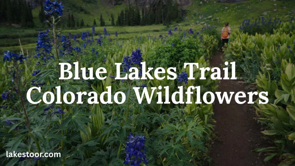
Summer mein Colorado ke high-country trails wildflowers ke liye particularly attractive ho sakte hain. Blue Lakes area mein seasonal blooms mountain scenery ko aur colorful bana dete hain, especially snowmelt ke baad summer hiking season mein.
Wildflowers ka exact timing weather, snowpack and elevation par depend karta hai. High-elevation areas mein flowering season relatively short ho sakta hai, isliye late June se August tak conditions year to year change kar sakti hain.
Wildflowers ko dekhte waqt established trail par rehna aur plants ko pick na karna important hai. Alpine vegetation short growing season mein recover karti hai aur foot traffic se easily damage ho sakti hai.
Blue Lakes Trail Colorado Elevation
Elevation is trail ka major feature hai. Breckenridge Blue Lakes Trail ke COTREX listing ke according trail ki elevation range approximately 9,360 to 13,014 feet, with about 3,653 feet of elevation difference listed hai.
Itni elevation ka matlab hai ke hikers ko lower-elevation trails ke comparison mein thinner air aur rapidly changing weather conditions ka experience ho sakta hai. Visitors ko altitude ko seriously lena chahiye, particularly agar woh sea level ya lower elevations se aa rahe hain.
Blue Lakes Trail Colorado Elevation Gain
Blue Lakes Trail ka listed elevation difference approximately 3,653 feet hai.
Elevation gain ko sirf number ke taur par dekhna misleading ho sakta hai. Trail ki actual difficulty route, starting point, terrain, snow, weather aur aap kitna route complete karte hain in sab par depend karti hai. High-elevation hiking mein slow pace, adequate hydration aur weather awareness especially useful hain.
Blue Lakes Trail Colorado Camping
Breckenridge Blue Lakes area aur San Juan Blue Lakes ko camping ke liye mix nahi karna chahiye. Breckenridge Blue Lakes Trailhead listing mein camping facilities available nahi dikhayi gayi hain, aur trailhead par restrooms aur water bhi listed nahi hain.
San Juan Blue Lakes mein camping rules specifically change hue hain. 2026 wilderness requirements ke according Middle aur Upper Blue Lake par camping prohibited hai, while limited overnight camping Lower Blue Lake area mein designated sites par available hai. Overnight groups six people tak limited hain, maximum stay two nights hai, aur campfires prohibited hain.
Isliye article mein “Blue Lakes camping” ke neeche trail location zaroor identify karein.
Blue Lakes Trail Colorado Closed
“Blue Lakes Trail Colorado closed” search karne wale readers ke liye sabse useful information which Blue Lakes aur what part is closed clarify karna hai.
Breckenridge Blue Lakes Trailhead ke September 2026 status update mein upper gate closed report hua tha. Dusri taraf, San Juan Blue Lakes Trailhead ka 2025 reconstruction closure October 8, 2025 ko access reopening ke saath end hua tha, although restoration work continued into 2026.
Isliye outdated “closed” information ko permanent fact ke taur par publish na karein. Article ko regularly update karna better hai.
Blue Lakes Trail Colorado Mountains
Blue Lakes Trail Colorado ke dramatic mountain landscapes ko experience karne ka opportunity deta hai. Breckenridge route Tenmile Range ke high-elevation environment mein hai, while San Juan Blue Lakes Mount Sneffels Wilderness ke spectacular alpine landscape ka part hai.
High peaks, rocky slopes, alpine lakes aur open mountain terrain trail ko scenic banate hain. Weather bhi mountains ka important part hai—clear morning rapidly changing afternoon conditions mein convert ho sakti hai.
Blue Lakes Trail Colorado Turquoise Water
Blue Lakes ke turquoise ya blue-green appearance ka main attraction mountain scenery ke saath water ka striking color hai. Snowmelt aur fine mineral particles, light reflection aur lake conditions water ko different shades of blue dikha sakte hain.
Lekin lake ka color season, weather, sunlight aur water conditions ke saath change ho sakta hai. Isliye photographs mein dikhne wala bright turquoise shade har visit par exactly same nahi hota.
Blue Lakes Trail Colorado Summer
Summer generally Colorado ke high-elevation hiking season ka popular period hai because snow conditions gradually improve aur mountain trails more accessible become karte hain. Blue Lakes area mein summer visitors ko wildflowers, mountain views aur comparatively longer daylight ka benefit mil sakta hai.
Lekin summer ka matlab guaranteed easy conditions nahi hai. Afternoon thunderstorms, cold temperatures, strong sun aur rapidly changing weather high elevations par common concerns hain. Early start aur appropriate layers hiking experience ko safer aur more comfortable bana sakte hain.
Blue Lakes Trail Colorado Breckenridge
Breckenridge ke paas Blue Lakes Trail ko search karte waqt exact trailhead identify karna important hai. COTREX ke according Breckenridge Blue Lakes Trailhead USFS Dillon Ranger District manage karta hai aur Colorado 80424 mein Blue Lakes Road par located hai.
Yeh location San Juan Mountains ke Blue Lakes se completely different hai. Agar aapka article broad “Blue Lakes Trail Colorado” keyword target karta hai, to Breckenridge aur Ridgway/Ouray sections ko separate rakhna search intent ko much clearer banata hai.
Blue Lake Trail Rocky Mountain National Park
Blue Lake Trail in Rocky Mountain National Park ko Breckenridge Blue Lakes Trail se confuse nahi karna chahiye. Similar name ke bawajood yeh separate hiking destination hai.
Colorado Trail Explorer mein ek different Blue Lake Trail Parks Ranger District ke under listed hai. Is trail ki listed length approximately 2 miles aur elevation range 9,056–9,832 feet hai.
Isliye article mein Rocky Mountain National Park ka mention karte waqt exact park aur trailhead information add karein, taake readers galat trail ke directions follow na karein.
Blue Lakes Ridgway
Blue Lakes near Ridgway San Juan Mountains ka famous alpine destination hai aur Mount Sneffels Wilderness se associated hai. Is trail ka access Ouray Ranger District manage karta hai, aur COTREX Northern Blue Lakes Trailhead ko approximately 38.0347° N, 107.807° W par list karta hai.
Ridgway area ko cover karte waqt Blue Lakes ko nearby Ridgway trails ke saath confuse na karein. Ridgway Trail System itself ek separate BLM-managed trail network hai jo Ridgway State Park ke paas located hai.
Blue Lake Trail Roosevelt National Forest
Roosevelt National Forest mein bhi Blue Lake Trail naam ka separate route hai, isliye “Blue Lake Trail Colorado” query ka answer dene se pehle location identify karna important hai.
US Forest Service material mein Colorado State Forest area ke Blue Lake Trail ko moderate, approximately 5-mile foot-traffic route ke roop mein describe kiya gaya hai. Trail Blue Lake Trailhead se start hota hai aur Rawah Wilderness ki direction mein mountain views provide karta hai.
Yeh Breckenridge Blue Lakes Trail ya San Juan Blue Lakes Trail ka alternative name nahi hai—yeh separate destination hai.
San Juan Blue Lakes
San Juan Blue Lakes Colorado ke Mount Sneffels Wilderness area mein ek spectacular alpine destination hai. Trail Lower Blue Lake se Middle aur Upper Blue Lake ki taraf climb karta hai, with dramatic high-mountain scenery surrounding the route.
2026 mein is area ke wilderness management rules particularly important hain. Human waste pack-out, approved bear-resistant food storage aur overnight group restrictions apply hain. Middle aur Upper Blue Lake par camping prohibited hai, while limited designated camping Lower Blue Lake ke paas available hai.
How to Get to the Blue Lakes Trailhead
From Ridgway, drive south on US-550 toward Ouray or north from Ouray toward Ridgway, depending on your starting point. From Ridgway, take Highway 62 west and turn onto County Road 7.
Continue on County Road 7 toward the trailhead. The approach is approximately nine miles from the highway according to the San Juan Mountains Association, with the final section becoming considerably rougher.
Is the Road to Blue Lakes Trailhead Difficult?
Yes, the final section can be challenging.
The San Juan Mountains Association specifically warns that the last two miles can be difficult for low-clearance vehicles.
That does not necessarily mean every visitor needs a serious off-road vehicle, but you should not assume the road is comparable to a normal paved access road.
Expect:
- Rough and uneven sections
- Potholes
- Rocks
- Narrower sections
- Potentially muddy conditions after precipitation
- Changing conditions depending on the season
A high-clearance vehicle is the safer choice for the final portion of the drive.
If you have a low-clearance sedan, check current road conditions before committing to the drive. Turning around before the roughest section is much better than getting stuck or damaging your vehicle.
Blue Lakes Trail Parking
Parking is available at and around the Blue Lakes Trailhead, but parking capacity is limited.
This is one of the most important practical issues for summer visitors. The Blue Lakes area has become extremely popular, and the San Juan Mountains Association warns visitors to expect limited parking and large crowds, particularly around the July 4 through Labor Day period.
What Time Should You Arrive?
An early start is strongly recommended.
Arriving early gives you:
- A better chance of finding legal parking.
- Cooler temperatures during the climb.
- More time to complete the hike before afternoon storms.
- A quieter experience on the trail.
- More flexibility if you decide to continue beyond Lower Blue Lake.
Do not park on vegetation simply because the designated parking area is full. Protecting the surrounding landscape is particularly important in a heavily visited alpine environment.
How Long Is Blue Lakes Trail?
The answer depends on which part of the route you hike.
Lower Blue Lake
The north-trailhead route to Lower Blue Lake is approximately 6.5 miles round trip, with about 1,680 feet of elevation gain.
This is the most popular objective and a reasonable turnaround point for hikers who want the classic Blue Lakes experience without committing to the higher route.
Middle and Upper Blue Lakes
The trail continues beyond Lower Blue Lake through increasingly steep terrain.
Middle Blue Lake is around 11,520 feet, while Upper Blue Lake reaches approximately 12,392 feet.
Because the upper portion is steeper and higher, your total hiking time will increase significantly compared with a Lower Blue Lake outing.
Blue Lakes Pass
Experienced hikers can continue toward Blue Lakes Pass, which reaches approximately 13,000 feet.
The round-trip distance from the northern trailhead to Blue Lakes Pass is approximately 9 miles, with about 3,800 feet of elevation gain.
This should be considered a substantially harder objective than simply hiking to Lower Blue Lake.
Also Check This Post: Big Pine Lakes Trail: Complete Hiking, Backpacking, Permit, Route and Planning Guide
Blue Lakes Trail Elevation Gain
Elevation is one of the most important factors to understand before hiking Blue Lakes.
The trailhead starts around 9,360 feet. Lower Blue Lake is approximately 10,920 feet, Middle Blue Lake about 11,520 feet, Upper Blue Lake about 12,392 feet and Blue Lakes Pass about 13,000 feet.
That means the hike can feel much harder than the mileage initially suggests.
Someone accustomed to hiking at sea level may find the altitude particularly challenging. Even fit hikers can experience slower breathing, headaches, fatigue or reduced endurance at these elevations.
For that reason, Blue Lakes Trail should not be judged by mileage alone.
How Difficult Is Blue Lakes Trail?
Blue Lakes Trail is best described as moderate to strenuous, depending on your destination.
Lower Blue Lake Difficulty
The hike to Lower Blue Lake is challenging but manageable for many reasonably fit hikers who are acclimatized to altitude.
The main difficulty comes from continuous climbing and the high elevation rather than technical climbing.
Upper Blue Lakes Difficulty
The route becomes substantially steeper after Lower Blue Lake.
If you continue to Middle and Upper Blue Lakes, expect:
- Steeper climbing
- More exposed terrain
- Higher altitude
- More demanding switchbacks
- Greater weather exposure
- More physical fatigue
Blue Lakes Pass Difficulty
Blue Lakes Pass is an advanced objective compared with the lower lake hike.
At approximately 13,000 feet, the combination of elevation gain, altitude and changing mountain weather makes this an undertaking for experienced hikers who are prepared for high-altitude conditions.
Blue Lakes Trail Route Breakdown
Understanding the route before you arrive makes the hike easier to plan.
1. Blue Lakes Trailhead
The hike begins at approximately 9,360 feet.
After passing through the gate, the trail reaches a junction at roughly 0.14 miles. The Blue Lakes route continues to the right, while another route leads toward Blaine Basin.
Make sure you follow the correct trail.
2. Forest Section
The initial portion travels through spruce and fir forest.
This section provides some shade and gradually introduces you to the elevation gain. As you climb, occasional openings provide views toward the surrounding mountains.
3. Mount Sneffels Wilderness Boundary
At approximately 1.4 miles, the trail enters the Mount Sneffels Wilderness.
From this point, wilderness regulations apply, so hikers should be especially careful to follow posted rules and Leave No Trace principles.
4. Alpine Meadows
As the trail climbs, the forest begins to open and alpine meadows provide broader views.
During the appropriate season, wildflowers can make this section particularly beautiful.
5. Lower Blue Lake
At approximately 3.2 miles, the trail reaches Lower Blue Lake according to the San Juan Mountains Association’s route description.
This is where many hikers turn around.
The lake sits beneath a dramatic mountain backdrop and is the classic viewpoint most people associate with Blue Lakes Trail.
6. Middle Blue Lake
If you continue, the route climbs more steeply.
Middle Blue Lake sits at approximately 11,520 feet. The higher you climb, the more alpine the landscape becomes and the more noticeable the altitude can be.
7. Upper Blue Lake
Upper Blue Lake is around 12,392 feet.
The landscape here is considerably more rugged and exposed than the lower portion of the trail.
For hikers who have the fitness, weather window and experience, this is arguably where the Blue Lakes experience becomes most dramatic.
8. Blue Lakes Pass
Beyond Upper Blue Lake, the trail continues toward Blue Lakes Pass.
The pass reaches approximately 13,000 feet and connects the Blue Lakes route with the Yankee Boy Basin side of the mountain.
Do not add this section casually. Check weather, remaining daylight and your physical condition before continuing.
Are the Blue Lakes Actually Blue?
Yes, and that is one of the main reasons the hike is so popular.
The color varies depending on conditions, season, sunlight and the water itself. Alpine lakes can display striking blue or turquoise tones because of light interacting with extremely clear water and fine sediment produced by glaciers and surrounding rock.
However, do not expect the exact same color shown in every photograph online. Weather, shadows, snow, ice and the position of the sun can dramatically change how the lakes look.
Best Time to Hike Blue Lakes Trail
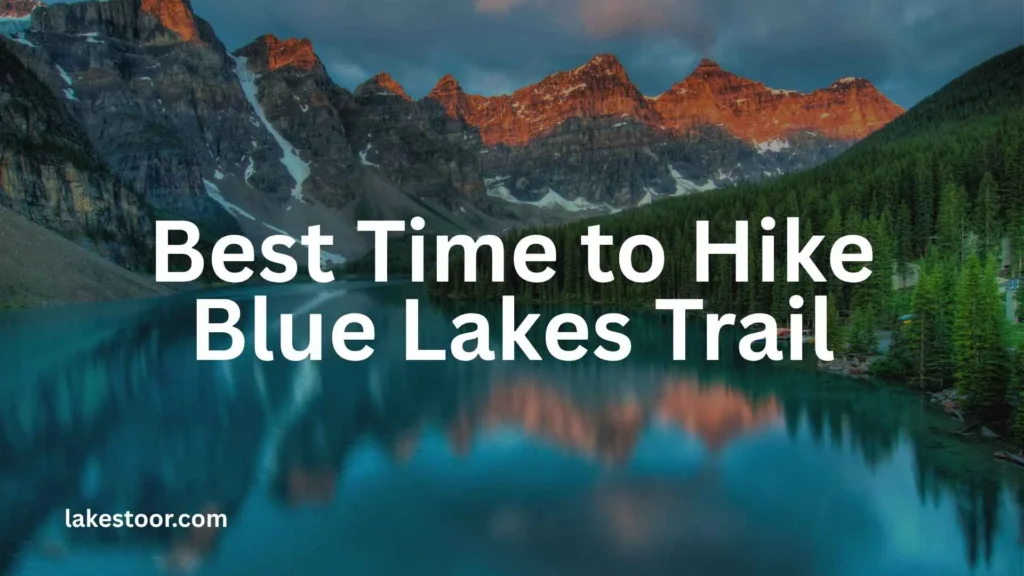
The best hiking window is generally late June through mid-September, but conditions vary from year to year.
The San Juan Mountains Association notes that the lakes and pass are normally snow-free from late June to mid-September.
Late June and Early July
Snow can still affect the higher sections.
Lower Blue Lake may be accessible while Middle and Upper Blue Lakes still have significant snow or ice.
July and August
These are among the most popular months.
You can expect:
- Better access to the higher lakes
- Wildflowers
- Longer daylight
- Warmer daytime temperatures
- More visitors
The trade-off is heavier crowds and limited parking.
September
Early fall can be an excellent time to visit.
Crowds may decrease, temperatures are cooler and the landscape can take on autumn colors at lower elevations.
However, winter conditions can begin returning quickly at high elevations, so always check current conditions.
Blue Lakes Trail Conditions
Trail conditions change throughout the season, so a guide written months or years ago should not be treated as a current conditions report.
In 2026, the Forest Service is continuing visitor-use management and restoration work in the Blue Lakes area.
Before hiking, check the current Forest Service Blue Lakes page and visitor-use updates for:
- Trail closures
- Road access
- Snow and ice
- Fire restrictions
- Camping regulations
- Human-waste requirements
- Food-storage requirements
- Permit or fee changes
This is particularly important if you are planning a trip near the beginning or end of the hiking season.
Do You Need a Permit for Blue Lakes Trail in 2026?
This is an important 2026 update.
A hiking permit is not currently required for Blue Lakes Trail in 2026.
Ouray County announced in April 2026 that the planned permit system would not be implemented for the 2026 hiking season and that permits were not expected until at least 2027.
However, this does not mean there are no rules.
The Forest Service introduced additional requirements in 2026 concerning visitor use, including human-waste and food-storage requirements.
The proposed future system includes day-use and overnight fees during the peak season, but those proposed fees should not be confused with current 2026 requirements.
Always verify the latest official information before your trip.
Blue Lakes Trail Camping
Camping is possible in the Blue Lakes area, but it is highly regulated because of the area’s popularity and environmental sensitivity.
The Forest Service notes that campsites in the Blue Lakes area are limited and that campfires are prohibited there. Camping is also prohibited within 100 feet of water.
In 2026, additional visitor-management requirements are in effect, including requirements related to human waste and food storage.
If you plan to backpack rather than day hike, research the current regulations carefully before leaving home.
Can You Bring Dogs on Blue Lakes Trail?
Dogs are allowed on portions of the route, but wilderness and leash regulations apply.
Because this is a high-elevation wilderness environment, think beyond whether your dog is technically allowed.
Consider:
- Your dog’s ability to handle steep terrain
- Heat and sun exposure
- Cold temperatures
- Rocky ground
- Water availability
- Wildlife
- Altitude
- Your ability to carry your dog if something goes wrong
Always follow current leash and wilderness requirements.
Is Blue Lakes Trail Good for Beginners?
It depends on what you mean by beginner.
A person who is new to hiking but is physically fit, acclimatized to altitude and prepared for a demanding mountain hike may be able to reach Lower Blue Lake.
However, Blue Lakes Trail is not an easy beginner walk.
The trail starts at high elevation and climbs continuously. Weather can change quickly, and the road to the trailhead can also be challenging.
For a first Colorado hike, especially for someone coming directly from low elevation, there are easier options.
If you are new to high-altitude hiking, consider spending a day or two acclimatizing in the area before attempting Blue Lakes.
Also Check This Post: Land Between the Lakes National Recreation Area: Complete 2026 Visitor Guide
What Should You Pack for Blue Lakes Trail?
Your packing list should reflect the altitude and unpredictable mountain weather.
Essential gear
- Plenty of water
- Electrolytes
- High-energy snacks
- Hiking shoes or boots
- Extra layers
- Waterproof rain shell
- Sun hat
- Sunglasses
- Sunscreen
- Offline map
- Phone with backup battery
- First-aid kit
- Headlamp
- Trekking poles if preferred
For higher sections, additional cold-weather layers are sensible even during summer.
Do not rely on the weather in Ridgway or Ouray to determine what conditions will be like at 12,000–13,000 feet.
Blue Lakes Trail Weather and Thunderstorms
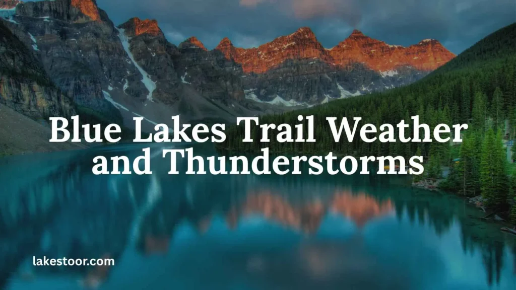
Colorado’s high country can develop thunderstorms quickly, particularly during summer afternoons.
An early start is one of the simplest ways to reduce your exposure.
If dark clouds are building, thunder is approaching or lightning becomes a concern, turn around rather than trying to reach the next lake.
Remember that reaching the lake is only halfway through your day. You still need enough time and daylight to return to the trailhead and drive the rough access road.
Blue Lakes Trail Safety Tips
1. Acclimatize before hiking
Give your body time to adjust to Colorado’s elevation.
2. Start early
Early mornings generally give you more time before afternoon weather develops and help reduce heat exposure.
3. Check the forecast
Look specifically at mountain weather rather than relying on conditions in town.
4. Carry enough water
Do not assume you will always have convenient, safe drinking water along the route.
5. Know your turnaround point
Decide in advance whether your goal is Lower Blue Lake, the upper lakes or Blue Lakes Pass.
6. Watch for altitude symptoms
Headache, nausea, dizziness, unusual fatigue and shortness of breath can be warning signs that you should stop climbing and descend.
7. Don’t underestimate the return
Fatigue increases the chance of slips and mistakes, especially on steep terrain.
8. Download your map
Cell service can be unreliable in mountainous terrain.
9. Follow wilderness regulations
The Blue Lakes area is receiving management attention because of heavy visitor use. Responsible recreation is essential.
What Should You Do if the Parking Lot Is Full?
Do not create your own parking space on fragile vegetation.
Instead:
- Look for designated legal parking.
- Follow posted signs.
- Do not block roads or gates.
- Do not park where you obstruct emergency access.
- If legal parking is unavailable, consider returning at another time.
The popularity of Blue Lakes is one of the reasons the area is undergoing visitor-use management.
Where to Stay Near Blue Lakes Trail
Ridgway is one of the most convenient bases for visiting Blue Lakes because it provides relatively easy access to the trailhead while also giving you restaurants, accommodation and other services.
A few accommodation options in Ridgway include Hotel Palomino, Chipeta Lodge Resort & Spa and MTN Lodge Ridgway.
Ouray is another popular base if you want to combine Blue Lakes with other San Juan Mountains activities.
Where to Eat After Hiking
If you stay in Ridgway, you have several places to eat after your hike, including True Grit Cafe, Eatery 66 and Taco Del Gnar Ridgway CO.
For an early breakfast or coffee before heading toward the trailhead, check opening hours the day before because mountain-town businesses can have seasonal schedules.
Blue Lakes Trail vs. Blue Lakes Pass
These objectives should not be treated as the same hike.
| Objective | Approx. distance | Difficulty | Best for |
| Lower Blue Lake | 6.5 mi RT | Moderate/strenuous | Most hikers |
| Middle Blue Lake | Longer than Lower Lake | Strenuous | Fit, acclimatized hikers |
| Upper Blue Lake | Longer and steeper | Strenuous | Experienced hikers |
| Blue Lakes Pass | 9 mi RT | Very strenuous | Experienced high-altitude hikers |
The figures above are based primarily on the San Juan Mountains Association’s current route description.
Is Blue Lakes Trail Worth It?
For most prepared hikers, Blue Lakes Trail is absolutely worth the effort.
The hike combines several things that make Colorado’s San Juan Mountains special: alpine lakes, dramatic peaks, wildflowers, high-elevation terrain and views toward Mount Sneffels.
The key is choosing the right objective.
If you want the classic experience without turning the hike into a full-day endurance challenge, Lower Blue Lake is a strong destination.
If you are comfortable with steep high-altitude terrain, continue toward Middle and Upper Blue Lakes.
And if you are an experienced mountain hiker with appropriate conditions, Blue Lakes Pass can turn the outing into a much bigger adventure.
Blue Lakes Trail FAQs
How long is Blue Lakes Trail?
The north-trailhead route is approximately 6.5 miles round trip to Lower Blue Lake. The route to Blue Lakes Pass is approximately 9 miles round trip.
How much elevation gain does Blue Lakes Trail have?
The hike to Lower Blue Lake gains approximately 1,680 feet. Blue Lakes Pass requires approximately 3,800 feet of elevation gain.
How hard is Blue Lakes Trail?
The Lower Blue Lake hike is moderately strenuous, while the route to the upper lakes and Blue Lakes Pass becomes substantially harder because of steep terrain and high altitude.
Can beginners hike Blue Lakes Trail?
Fit and acclimatized beginners may be able to hike to Lower Blue Lake, but it should not be considered an easy beginner trail.
Is Blue Lakes Trail open in 2026?
Current Forest Service information provides Blue Lakes Trail information for 2026, but seasonal access and conditions can change. Check the Forest Service before traveling.
Do you need a permit for Blue Lakes Trail in 2026?
No hiking permit is currently required for 2026. The planned permit system was postponed until at least 2027. Other visitor-use regulations still apply.
Is there parking at Blue Lakes Trailhead?
Yes, but parking is limited and can fill quickly during busy summer periods. Arrive early and park only in legal designated areas.
Do you need 4WD to reach Blue Lakes Trailhead?
The Forest Service and local trail information indicate that the final portion of the access road can be difficult for low-clearance vehicles. A high-clearance vehicle is recommended for challenging sections.
When is the best time to hike Blue Lakes Trail?
Late June through mid-September is generally the main hiking season, although snow conditions vary. July and August offer good access but are also among the busiest periods.
Can you swim in Blue Lakes?
Although visitors may be tempted by the clear water, swimming is not the reason to visit these alpine lakes. Cold water and rapidly changing mountain conditions can create serious risks. Enjoy the lakes from a safe location and follow all posted regulations.
Can dogs hike Blue Lakes Trail?
Dogs are permitted on portions of the route subject to applicable leash and wilderness regulations. Always check current rules before your trip.
How early should you start Blue Lakes Trail?
An early morning start is recommended, particularly during summer. It improves your chances of finding parking, reduces exposure to afternoon thunderstorms and gives you more daylight for the return journey.
Final Blue Lakes Trail Tips
Before you leave for Blue Lakes Trail, check these five things:
1. Check current conditions.
Road and trail conditions can change rapidly.
2. Check 2026 regulations.
The permit system is not currently required for 2026, but other visitor-use rules are in effect.
3. Arrive early.
Parking is limited and summer crowds can be significant.
4. Choose your destination before you start.
Lower Blue Lake, the upper lakes and Blue Lakes Pass are very different objectives.
5. Respect the wilderness.
Stay on established trails, follow waste and food-storage requirements, keep campsites and lakeshores protected, and pack out what you bring in.
Final Verdict: Should You Hike Blue Lakes Trail?
The Blue Lakes Trail in Colorado is one of the state’s standout alpine lake hikes, but its beauty should not make you underestimate the challenge.
The trail begins at high elevation, gains significant elevation and eventually reaches terrain above 12,000 feet. The access road can also be rough, parking can be limited and summer weather can change quickly.
For most visitors, the best strategy is simple: start early, prepare for altitude, check conditions, hike within your ability and give yourself enough time to return safely.
If you do that, the reward is exceptional—turquoise alpine water, wildflower-filled meadows, rugged San Juan peaks and unforgettable views beneath Mount Sneffels.
Also Check This Post: Big Pine Lakes: Complete Hiking, Camping, Permit, and Trail Guide

I’m Charlotte Pembroke, and my passion for lakes began through travelling across the United Kingdom’s national parks. I enjoy learning about freshwater ecosystems, famous lakes, conservation, and the unique stories behind these incredible places.
I write to make geography and nature enjoyable for everyone, combining reliable research with clear explanations that readers of all ages can understand.
Books I’ve Written:
- Lakes of Britain: A Natural Journey
- Waters That Shaped History
 Oliver Whitmore